My youngest son just had his 10th birthday and I started my first blog on the same day. With four County Council meetings completed in my first term, I requested that the County set up a blog so that each Council Member could communicate with our constituents. Communication was one of the reasons that I chose to run for Georgetown County Council and my first blog will be dedicated to a topic that will soon hit every homeowner, business owner, and renter in my District and more than likely many in Georgetown County.
In May of 2023, FEMA is updating their flood maps! These changes hit home when a new home was being constructed in the Willbrook neighborhood of my District, District 6. 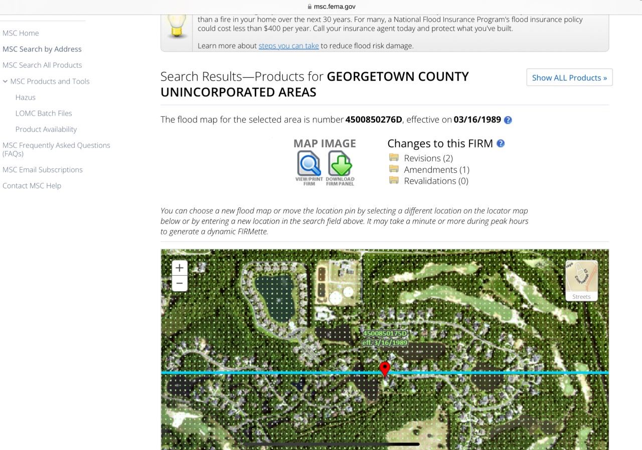 Several of the homeowners contacted me concerned that the home was over the height limit for the county. After visiting the site and consulting with our professional Planning/Zoning Department, the conclusion was that the property site was located in an X Flood Zone, which is not a flood zone. However, the site will change to AE8 flood zone in May, which is a flood zone. That means that instead of measuring from the ground/slab, an AE8 flood zone requires the house to be elevated and the height is measured from the BFE (Base Flood Elevation) to the mid-point of the roof.
Our beautiful county is surrounded by water. Districts 1, 2 and 6 are essentially islands surrounded by the Atlantic Ocean to the east and the Waccamaw River to the west. Therefore I expect many properties to be impacted by the new FEMA flood maps. If you're curious, like I was, to see if your own house will be impacted, you can go to this website to check for yourself: https://msc.fema.gov/portal/home.
I went to this site and, of course, our area says "No digital data available." Ugh! If you get that like I did, take the next step and click on the "Changes to this FIRM" which is an acronym for Flood Insurance Rate Map. Open the latest version of that document which will be a LOMA (Letter of Map Amendment). There is a bolded box that says “OUTCOME,” and next to it “FLOOD Zone.” In the verbiage in other boxes, pay attention to what it says about SFHAs (Special Flood Hazard Areas). The Flood Zone box will tell you your Flood Zone (X, AE, VE) and OUTCOME will tell you if there are any changes/updates.
If you are in X, there may not be any changes other than normal increases to your yearly flood insurance premiums.  However, if you have changed from an X to an AE flood zone, you could see some significant impacts. The following FEMA links provide more information:
These changes could impact all new construction, any renovations over 50% of the value of your current residence/building, significant increases to your flood insurance and possibly wind/hail insurance. Please be proactive and prepare for these updates.
Thank you and hope this first blog was helpful.